A Bike Loop We Love: For the Beginner Rider
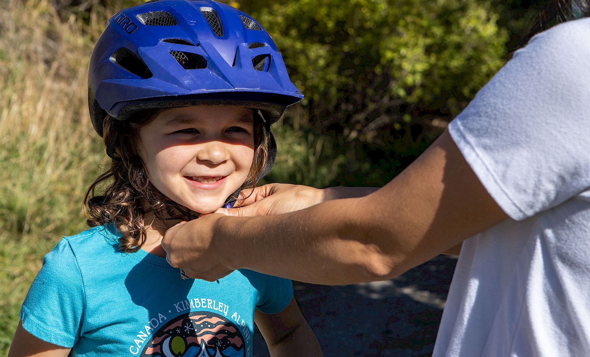
Striders, gliders, and beginner riders, this one’s for you. With nearly 200 established trails to enjoy here, it can be daunting to weed out the more technical trails from the easier and breezier options. Good news, newbies, there are plenty of machine-groomed greens, progressive routes, and memorable paved paths to enjoy here. We’re taking the guesswork out and letting you in on some tried and true beginner-friendly bike routes that we keep coming back to. Bring your sense of adventure, then get ready to cruise along these family-friendly loops with us.
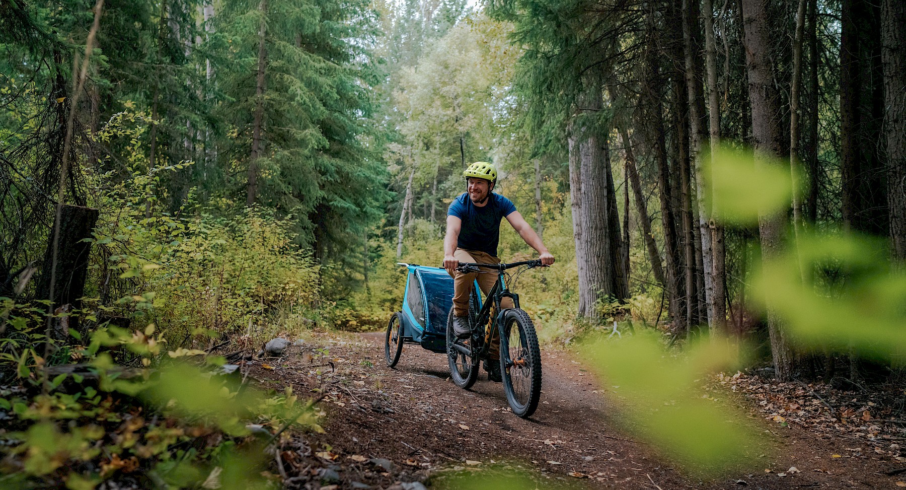
Route #1: Happy Hans Loop
Distance: 2.5 km
Time: 30 Minutes - 1 Hour
The Breakdown: This ride starts and ends at the Kimberley Nordic Centre parking lot, and is well-suited for all ages and all levels of biking abilities. The Happy Hans Loop is also multi-directional, machine-groomed, and appropriate for adaptive trikes or striders. Though not full of tricky terrain or big descents, this loop boasts great views of the Canadian Rockies, fast stretches, and enough flowing corners to keep a big smile on your face the whole ride through. This loop is well-marked, and can be found by following the green ETM Beginner Loop signs dotted throughout the Nordic Trails. Expect the loop to take between 30 minutes to 1 hour for most beginner riders. Looking to explore further? Energetic bikers might opt to extend the Happy Hans Loop by checking out other beginner-friendly trails in the Nordic Centre, like the cruisy and chill Nuts and Volts.
Tip: adaptive riders should stick to the mulch trail for the first 100m in order to avoid the boardwalk and narrow trail that leads into the beginning of the Happy Hans Loop
Electrify the Mountain Project
As our first beginner route starts and ends in the Nordic Centre Trail Network, a shout out to the Electrify the MountainsProject is in order. The Electrify the Mountain Project is a collaboration between the City of Kimberley, Sustainable Kimberley, and the Kimberley Trails Society. This project welcomed 36km of new and upgraded trails suitable for eBikes, adaptive trikes and traditional mountain bikes in 2024. Moving forwards, the trail projects will be managed and maintained by the Kimberley Trails Society, the local non-profit that manages over 180km of Kimberley trails.
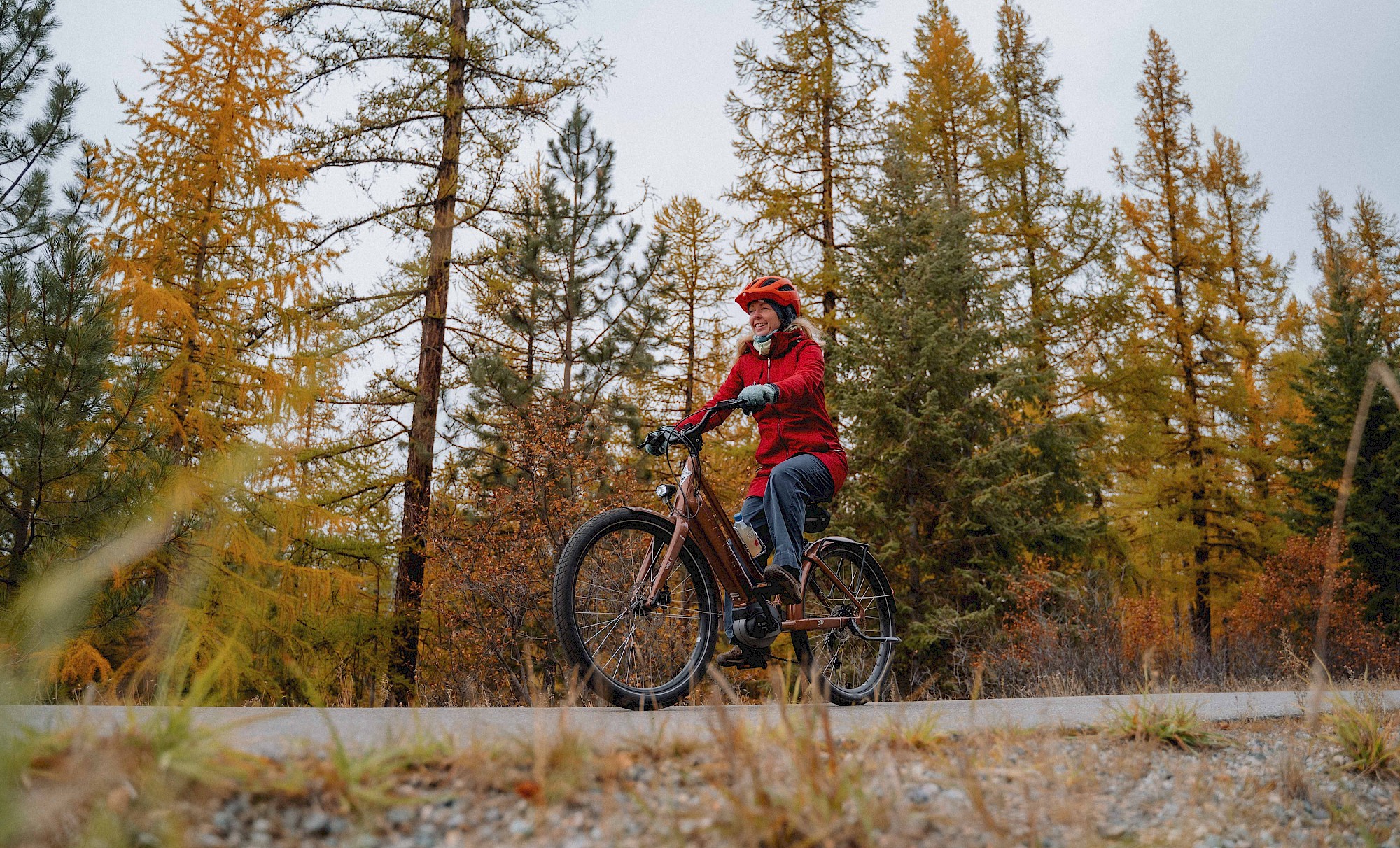
Route #2: North Star Rails to Trails
Distance: 26 km
Time: 30 Minutes - 3+ Hours
The Breakdown: For strollers, striders, training wheels, or adaptive riders, opt for the paved surface and easy grade of the North Star Rails to Trails. This 26 km path connects Kimberley to neighbouring Cranbrook and offers impressive views of the St. Mary River, the Canadian Rockies, and many colourful deciduous and coniferous trees along the way. Pick a small stretch of trail to ride, or cruise through the entire 26 km before retracing your route back home or hitching a ride on the Kimberley-Cranbrook Transit Bus. This trail can be enjoyed for a short amount of time, or all day long. To access the start of the North Star Rails to Trails, bike or drive down Rotary Drive and look for the trailhead across from Kimberley’s Civic Centre Arena.
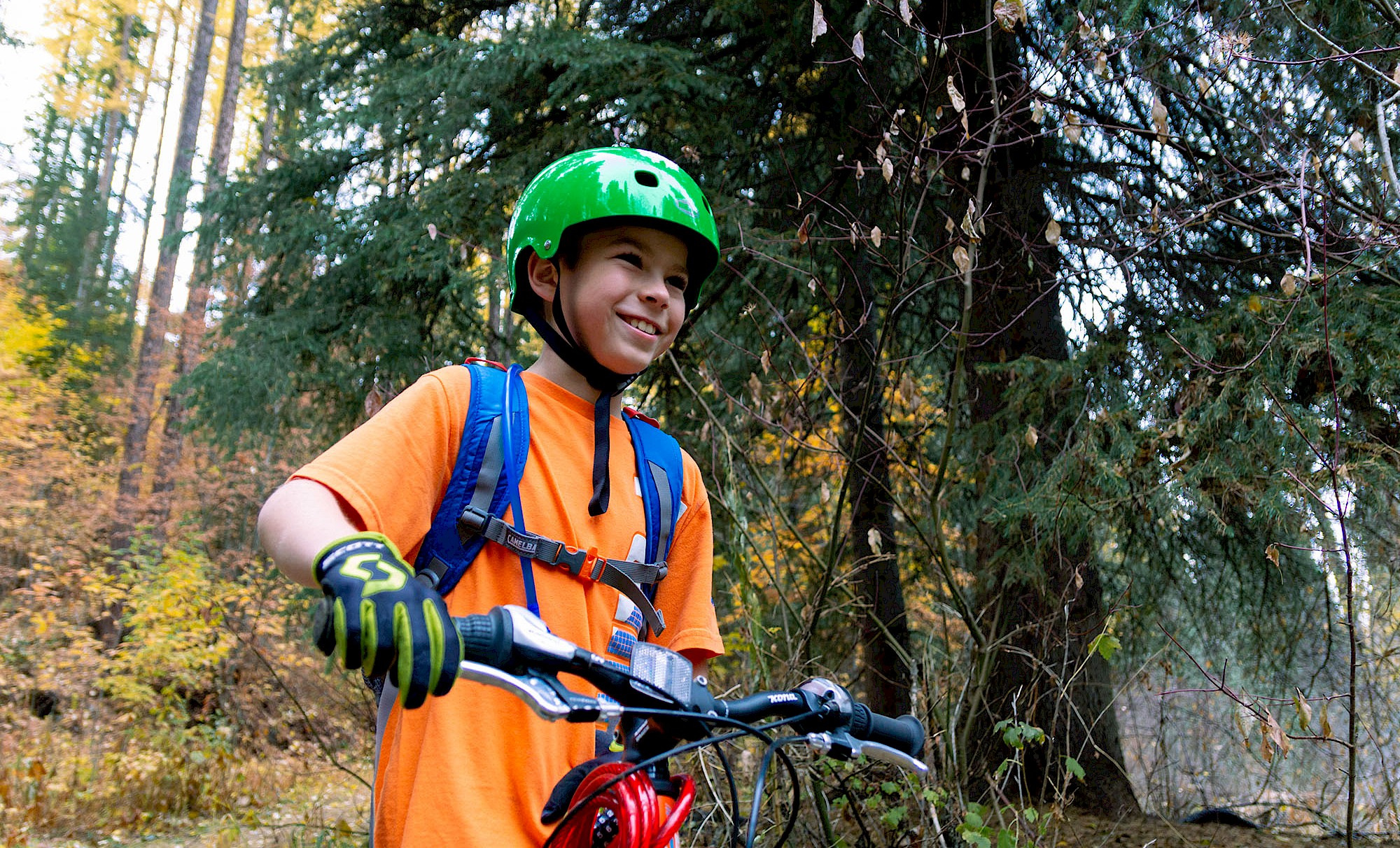
Route #3: Spicy Kitty
Distance: 2.3 km
Time: 30 Minutes - 1 Hour
The Breakdown: As the only green-rated trail at the Bootleg Mountain Trail Network, Spicy Kitty provides an accessible and enjoyable ride for all abilities and all ages. With gentle berms, rollers, and optional wooden features, this trail is also the perfect place for riders to progress their skills and gain more confidence in the saddle. Whether you use this trail as a fun warm-up before bigger objectives, or opt to lap Spicy Kitty all day long, we have a feeling this trail will stick with you long after the day is done. Expect this trail to take 30 minutes to 1 hour, with a little extra time tacked on if you opt to pedal along the up-track to access the trail. This trail can be accessed from the parking lot via a 2.5 km pedal up the cruisy climb trail, Unicorn Hunting, or via a 2.5 km drive along Bootleg Road.
Reminders
While we’re all for optimizing our fun on the trails, preparation and planning are vital to ensure that every outing goes as smoothly as possible. Be sure to familiarize yourself with our basic planning, safety, trail etiquette and wildlife tips, then stock up on relevant maps, apps and guidebooks. Kimberley's Trail Networks can be viewed on the Trailforks website or through the mobile Trailforks application.
We would like to acknowledge that Kimberley (k̓ukamaʔnam) and our surrounding trail networks are located on the unceded traditional territory of the Ktunaxa (?amak?is) Nation.
And shout out to our fabulous volunteer trail societies, Kimberley Trails Society and Kimberley Nature Park volunteers, who thoughtfully build and maintain the most incredible playgrounds for us to enjoy.